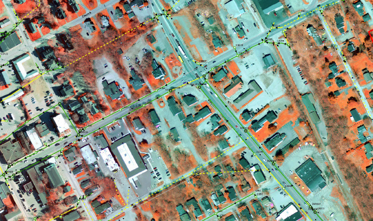
Geospatial intelligence drives the decision-making process for all businesses and municipalities. Sebago Technics GIS team leads the industry in providing geospatial intelligence to all project sectors. Data acquisition, analysis and visualization are performed by our in-house experts to ensure accuracy and efficiency. The reality-based mapping approach adopted by Sebago Technics provides our clients with real and digital maps designed to enhance decision-making at all levels.
Map graphics enables the communication between developers and policymakers. The integration of GIS (Geographic Information Systems) within Sebago Technics Project Delivery and Survey acquisition provides our clients with a geospatial advantage. We use geospatial technologies and software packages that enable the compilation of flexible and affordable map products and land-based data analysis.
There are many resources available when compiling geospatial intelligence. Understanding the importance and value of each data source is best left to the experts. Sebago Technics has the experience necessary to turn the clutter of data into sensible information and maps.
Municipal Mapping
- Parcel edits & tax mapping
- Zoning Maps
- Comprehensive Planning & Exhibits
- Service district overlays
- Policymaking analysis
Asset & Utility Inventory
- Sewer & Storm Water Structures
- Street Lighting
- Water Utilities and connections
- Impervious surface analysis
Site Analysis & Studies
- Environmental Impacts
- Utility Availability
- Floodplain Mapping
- Land Cover/Land Use
- Coastal Resiliency Studies
Remote-Sensing Maps
- Terrain visualization
- Orthoimagery overlays and
- Site Location Maps