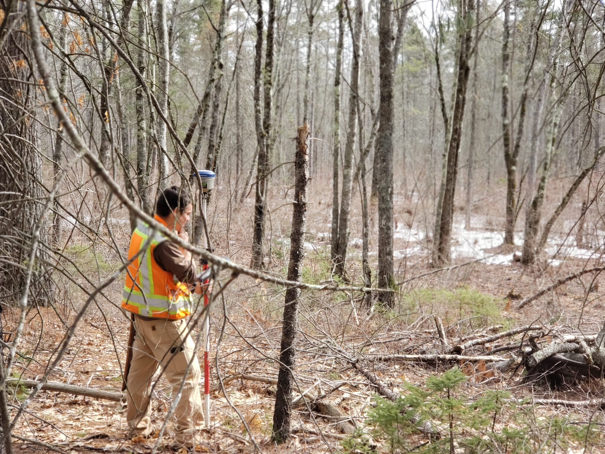
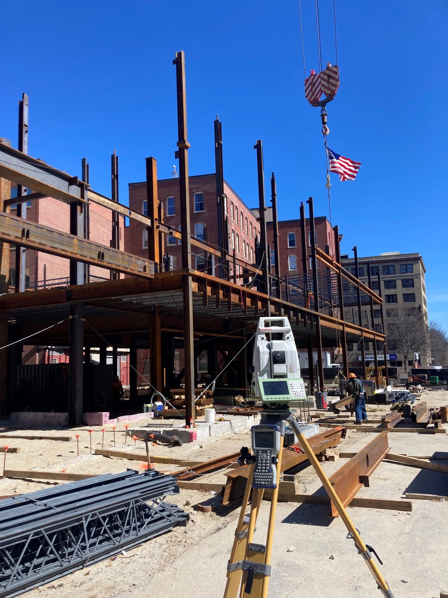
Sebago Technics maintains our own GPS base station allowing us to complete real-time kinematic GPS within a supporting network. Data collected in the field is processed electronically by survey technicians and professional land surveyors to produce quality final products whether it is a stand-alone survey plan or engineering data to be used in design and construction.
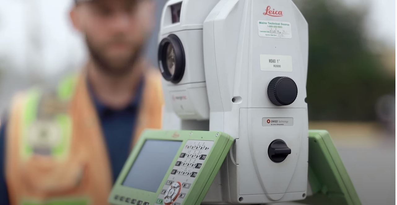
Extensive construction and survey knowledge coupled with top-quality equipment and software allows us to produce, process, and deliver the highest quality project deliverables.
Every scanning project is supported and constrained with a complete survey file. Leveraging best survey practices to quantify scanning data, ensures survey-grade level of accuracy and precision for deliverables derived from the point cloud during post-processing.
Advantages
- Reduction of At-Risk Exposures
- High Level of Detail
- Shorter Project Cycle Times
- Unobtrusive Data Collection
- Faster Results

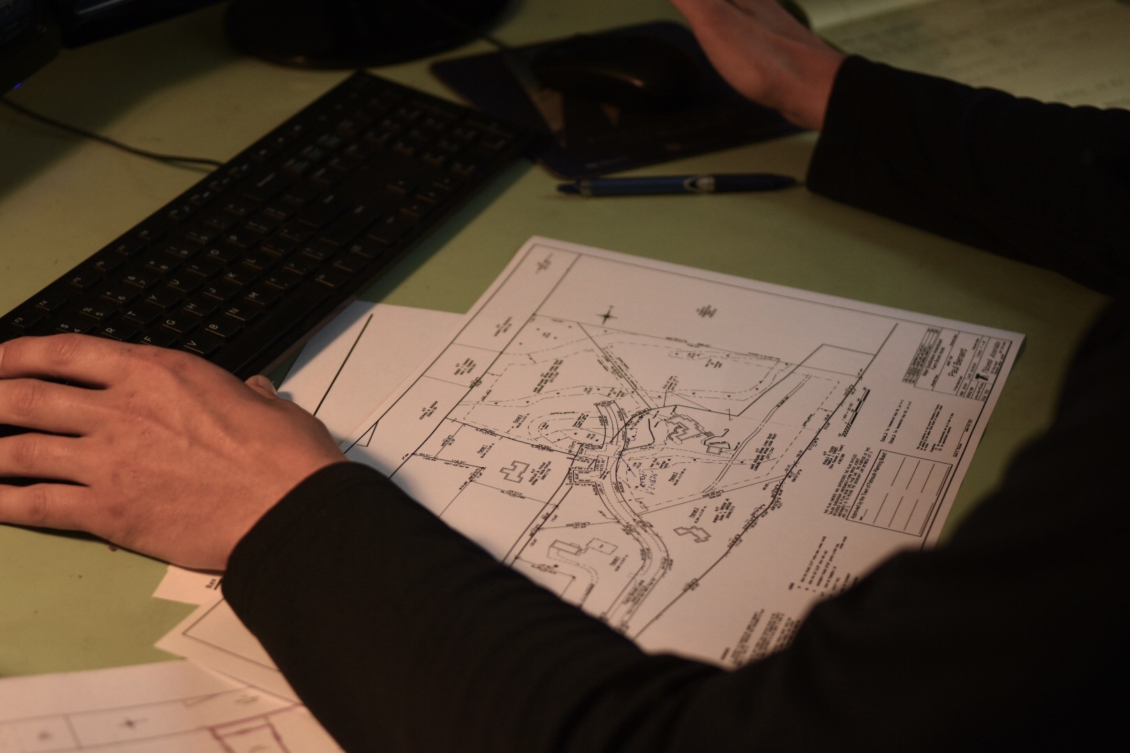
- Technical Deed Research
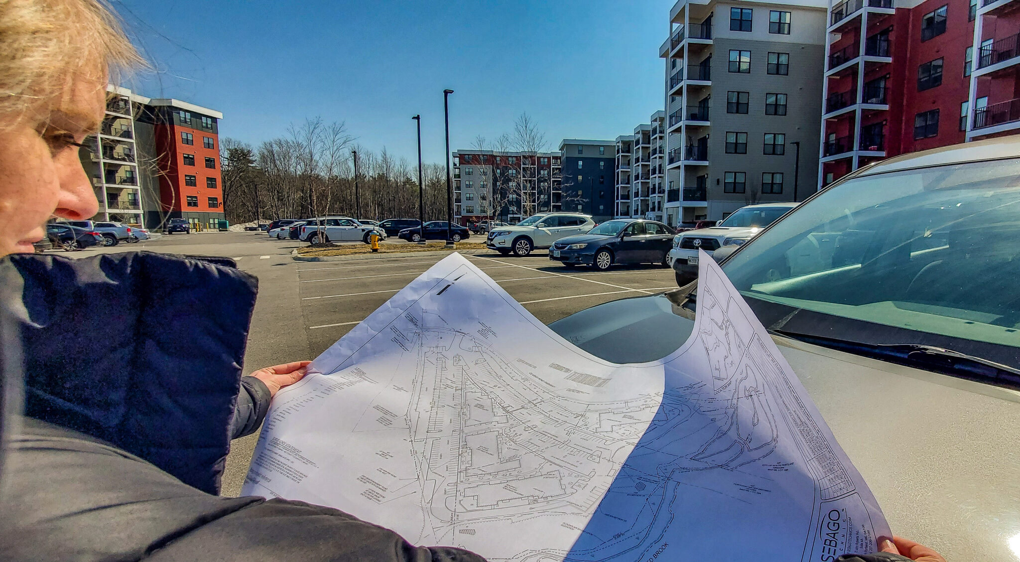
- Boundary & Topographic Survey
- ROW Survey & Mapping
- Land Title Survey
- Subdivisions
- GPS Survey & Mapping
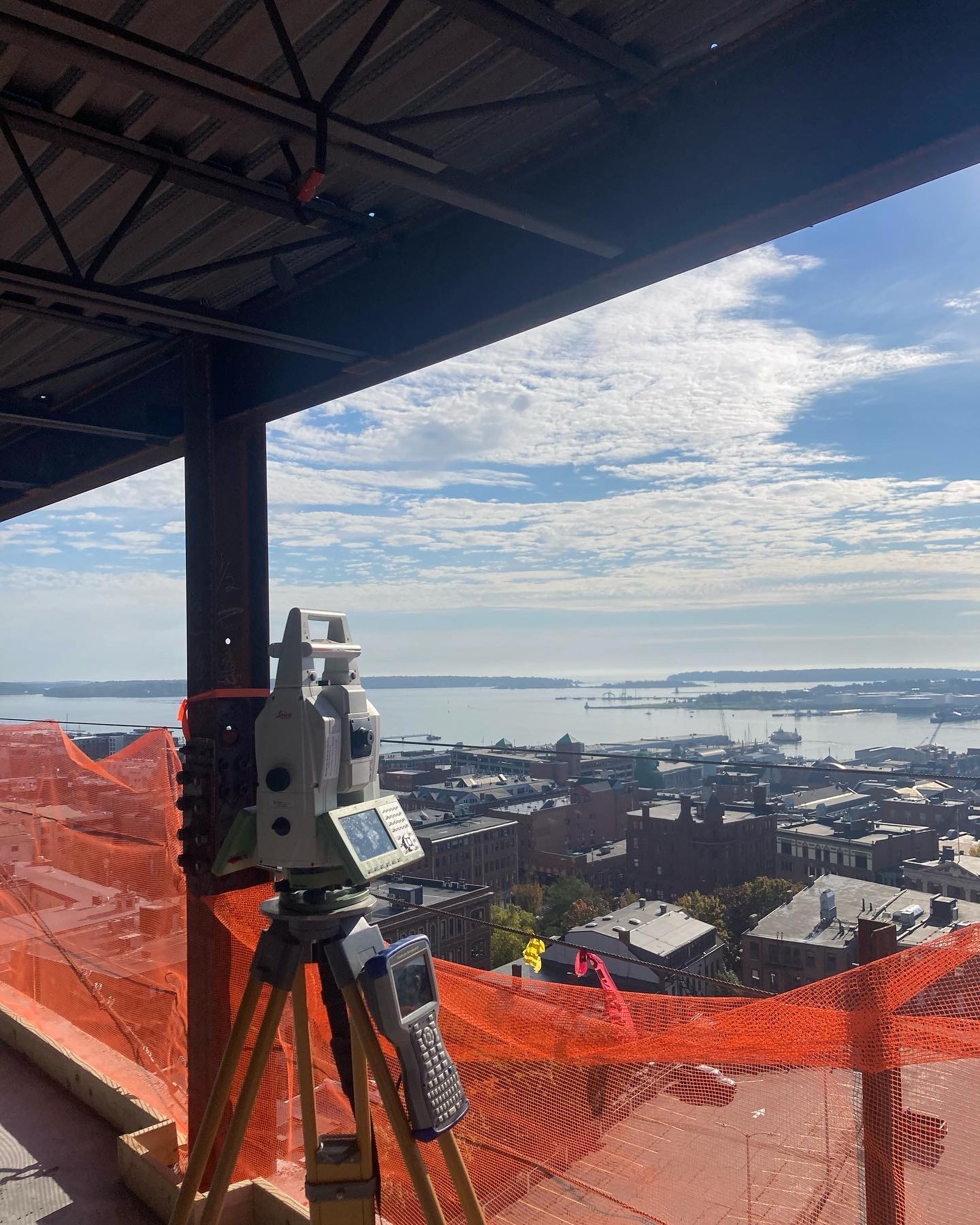
- Construction Layout (Vertical & Horizontal)
- As-Built Surveys
- High Definition 3D Laser Scanning
- Hydrographic Surveying
- Forensic Surveying
- Bridges, antennas, and towers
- MEP networks
- Steel sizing
- Cloud rendering