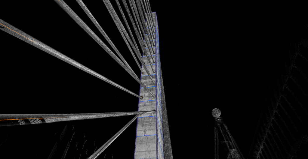
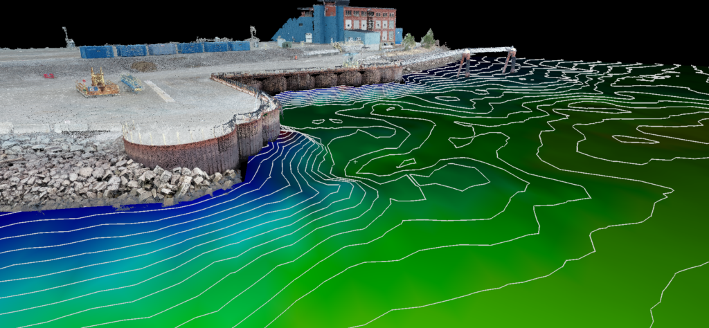
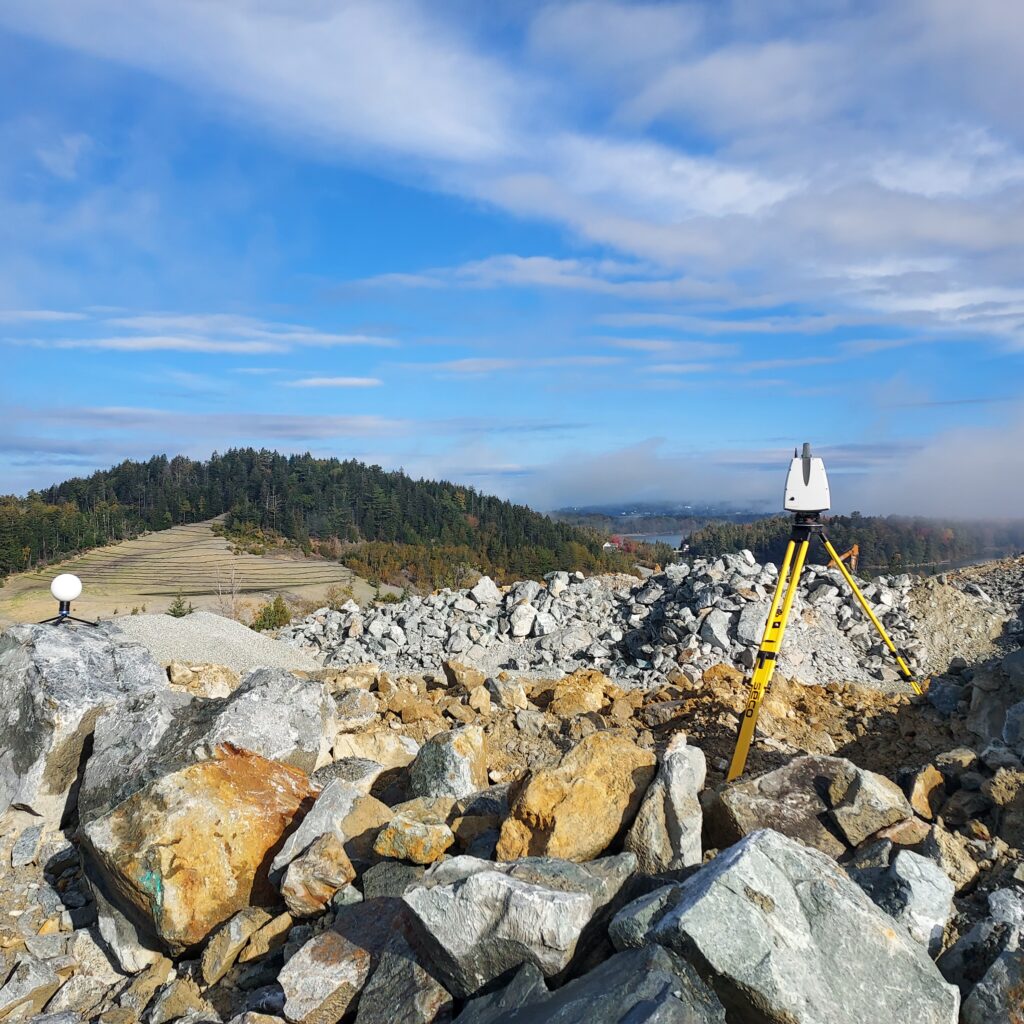
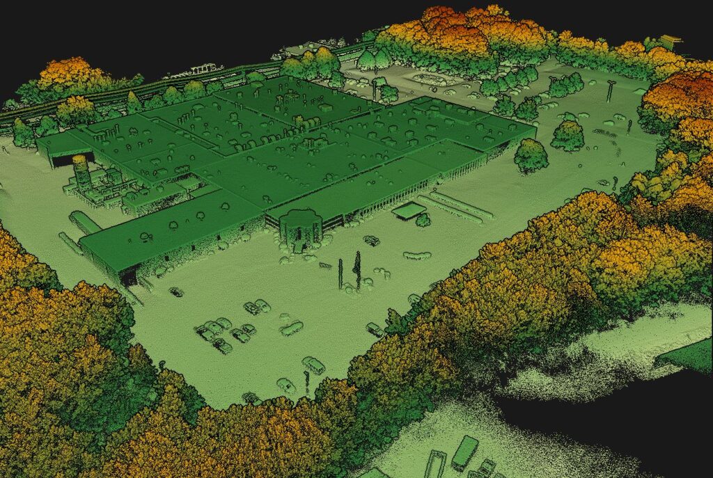
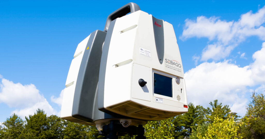
Whether it’s surveying a roadway, analyzing bridge components, documenting a historic building, quantifying material volumes or retrofitting an existing structure, High Definition 3D Laser Scanning is a highly efficient solution. Sebago Technics has been scanning since 2013 and has successfully completed a multitude of projects over a wide array of project disciplines.
With a scan rate of 1,000,000 points per second, Sebago Technics can supply the highly-accurate and cost-effective dataset required to fully utilize today’s 3D design software. Once point cloud data is processed, surfaces and 3D objects can be created through Leica Cyclone, Cloudworx and Revit software. The resulting deliverable can be viewed in AutoCAD, Revit, MicroStation, Sketchup & Solidworks. We can even create 3-dimensional views and videos for use in presentations and marketing.
Working with the industry’s most well-known design software, Sebago is able to create the solid 3D models you need to further improve your facilities or make your design. From facilities and layout plans all the way to full record models we provide accuracy by utilizing our High Definition Surveying team to provide accurate and up-to-date information. Using the cloud data, we are even able to accurately depict detailed facades to maintain model accuracy for historical projects.

- Topography & Grading Plans
- Streetscapes and Roadways
- Building Information Modeling (BIM)
- Architectural Details and Facades
- Building Interior and Structures
- Bridges, Antennas and Towers
- MEP Networks
- Volumes & Quantities
- Presentations
- As-Built/Record Drawings
- Floor Plans and Layouts
Aero-Geomatics©
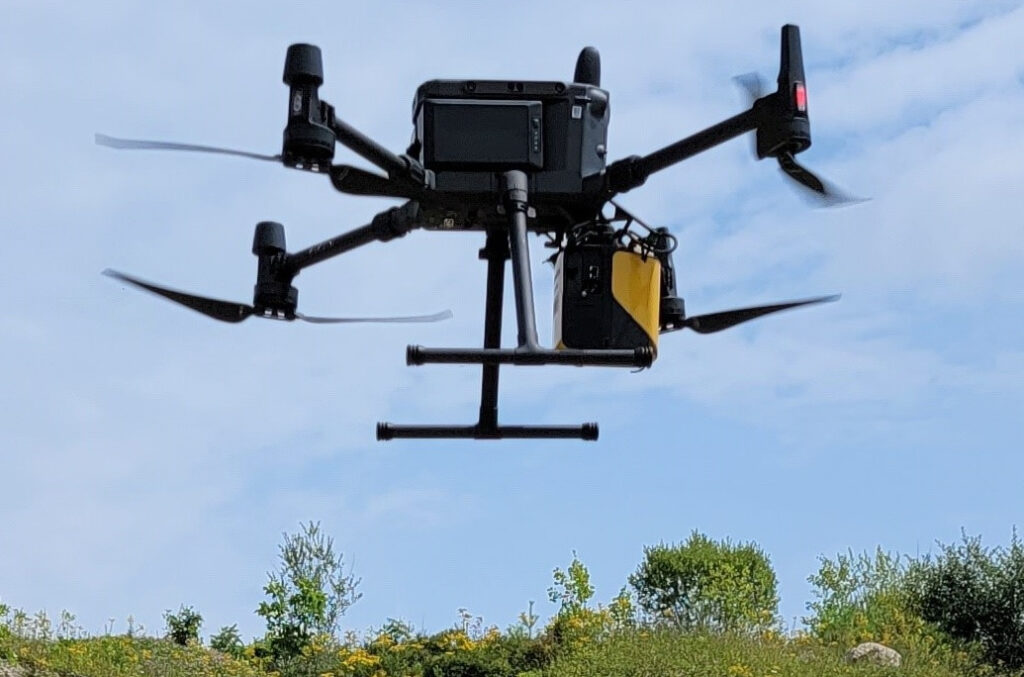
Sebago’s Aero-Geomatics© services employ pilots that utilize sUAS technology as our digital surveyor eyes in the sky. With our team of FAA Part 107 certified sUAS pilots, we utilize the latest in Aero-geomatics© technologies, improving safety, and accessibility for real-time monitoring and data capture of the world below us. Sebago leverages Aero-geomatics© to capture larger acreage sites with more precise, high-resolution information than traditionally feasible by conventional means. Whether performing aerial mapping to collect on-demand LiDAR or photogrammetry, for inspections and fly-through videos, our sUAS (small Unmanned Aerial System; i.e., drones) have built-in safety capabilities, high-precision GPS satellite positioning, and the ability to deconflict the airspace above critical site locations such as airports.
Terrestrial Geomatics
Sebago’s Terrestrial Geomatics team utilizes multiple terrestrial laser scanning technologies, allowing the creation of highly accurate (1-2mm) 3D point clouds of the built and natural world for use in design and documentation. This powerful technology speeds up and augments traditional land surveying services with more measured feature points and multiple data returns on needed features. It also allows for the capture of information from unsafe areas or difficult access features such as higher building facades, bridges shoreline cliffs, etc. Whether for landscape, architectural modeling, or supporting simulations and visualizations, the ability to put the world in a visual exacting context aids our client’s work. A street scene concept, structural analysis, construction, and fabrication QA/QC, or structures like roof rails, crane rails, gantries, buildings, dams, and bridges, we help to ensure they go in right and remain where they are supposed to be.
