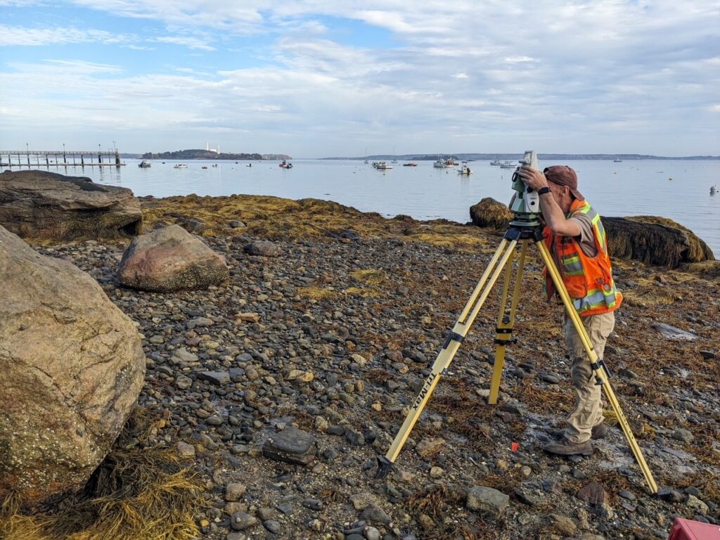
Jesse McGrath – Survey Technician
1. What inspired you to pursue a career in land surveying?
After 5 years of working in aerial survey as a LiDAR and camera operator, I wanted to spend more time locally in Maine, yet remain in the field of survey. Working at Sebago Technics has given me the opportunity to do just that, while learning so many new things.
2. How do you see the future of land surveying evolving, especially with advancements in technology?
The use of drones, coupled with LiDAR (Light Detection and Ranging) and photogrammetry. I see them becoming more widely used as the hardware and software involved become more user friendly and affordable.
3. Can you share a particularly rewarding experience you’ve had as a land surveyor?
With all the various methods incorporated in the field, I particularly most enjoy boundary survey in rural Maine. Trekking through the woods looking for boundary evidence and enjoying the great outdoors!

Eric Crowley – Survey/CAD Technician
1. What inspired you to pursue a career in land surveying?
I was inspired to pursue land surveying from high school. I took an architectural and engineering design class where I learned how to use CAD software and the different applications. I also have always loved going on hikes and walking through the woods, so land surveying seemed like the perfect fit.
2. Can you share a memorable or challenging project you’ve worked on as a land surveyor?
A memorable job that I worked on would be a job out in Limington, Maine where the entire property was wetlands and grass. So, as I’m walking through grass all the way up to my shoulders, I also had to navigate through the wetlands, which had water up to my waist at some points. To make the day even better, once we finished up and were back on dry ground, there were about 30-50 ticks covering my legs.
3. How do you see the future of land surveying evolving, especially with advancements in technology?
I see the future of land surveying evolving into a much more accurate and quicker trade. With the advancements in technology and having the power to use drones and more sophisticated scanners, we will be able to capture the smallest of details. The trade itself has already evolved so much from going from a compass and chain to now using robotics with lasers.
Dana Burbank – 3D Modeler/CAD Technician

1. What inspired you to pursue a career in land surveying?
I was excited to pursue a career in the survey field because I have always been interested in the land, its varying landscapes, its physical structures, and our relationship to those things. Land surveying is a world full of numbers, and the precision that is needed to depict our world accurately is of the utmost importance. I was drawn to this field of work because I like the idea of definites, and in land surveying, where we are tasked with locating exactly where things are on Earth, there does not seem to exist that place for ambiguity. The land and its structures are where they are, and we get to capture that reality.
2. How has technology transformed the field of land surveying during your career?
As a 3D modeler, with experience in both field data collection and data extraction processing in the office, I see firsthand everyday how advances in technology have served to bolster the capabilities within this profession. Technological advances in our field instruments, our processing software, and in our data extraction procedures make it easier and more efficient for us to not only collect the data in the field, but to extract the pertinent information, format it, and transmit a highly accurate and detailed deliverable that meets and, often, exceeds our clients’ expectations. With traditional methods of data collection supplemented by high-definition terrestrial and aerial scanning processes, land surveyors have increased their capabilities and continue to explore new markets, applying their skills in ways that would not have been possible years ago.
3. How does land surveying contribute to the broader community and infrastructure development?
Land surveying is a critical piece of the puzzle in building and sustaining a workable landscape for all of us, both now and in the distant future. The work that land surveyors do is the foundation on which everything on the surface of our world exists. Roads, sidewalks, schools, skyscrapers, drainage structures, utilities, etc. All these things, and so many more, are located and/or laid out by land surveyors. It is an essential profession in the continuation of our growth and development on a global level.


Timothy Beaudoin – Senior Surveyor
1. What inspired you to pursue a career in land surveying?
What inspired me to pursue a career in land surveying was the opportunity to work in a physical job where most of my time is spent outside in the field, but also left time for office work.
2. Can you share a memorable or challenging project you’ve worked on as a land surveyor?
The most memorable job was the first subdivision I worked on from start to finish. I always find it rewarding to see a raw parcel of wooded land turn into a beautiful development.
3. In your opinion, what qualities make a great land surveyor?
In my opinion, a great land surveyor is someone who has a high attention to detail and precision. One who always turns over every stone to ensure all evidence is found, in turn producing the most accurate survey possible.
ABOUT SEBAGO TECHNICS
Sebago Technics, Inc. is a creative engineering collective boasting a team of 110+ design professionals and technical experts. Operating from multiple offices spread across Southern, Western, and Midcoast Maine, the firm provides an expansive array of services, guiding projects from initial site assessment and design through permitting and construction oversight. Distinguishing itself with the largest survey-geomatics team in Northern New England, comprised of 36 dedicated professionals, Sebago Technics offers unparalleled expertise in land surveying and geomatics.
For those seeking to embark on or advance their careers in surveying, the company presents exciting career opportunities. Visit our Careers page for more information on how to become an employee-owner with one of Maine’s best places to work!