Join us in spotlighting four more talented members of our Survey-Geomatics team at Sebago Technics! Learn about their inspiring journeys and gain insights into their experiences in the field. From passion to profession, their stories illustrate the path to success in becoming a surveyor.
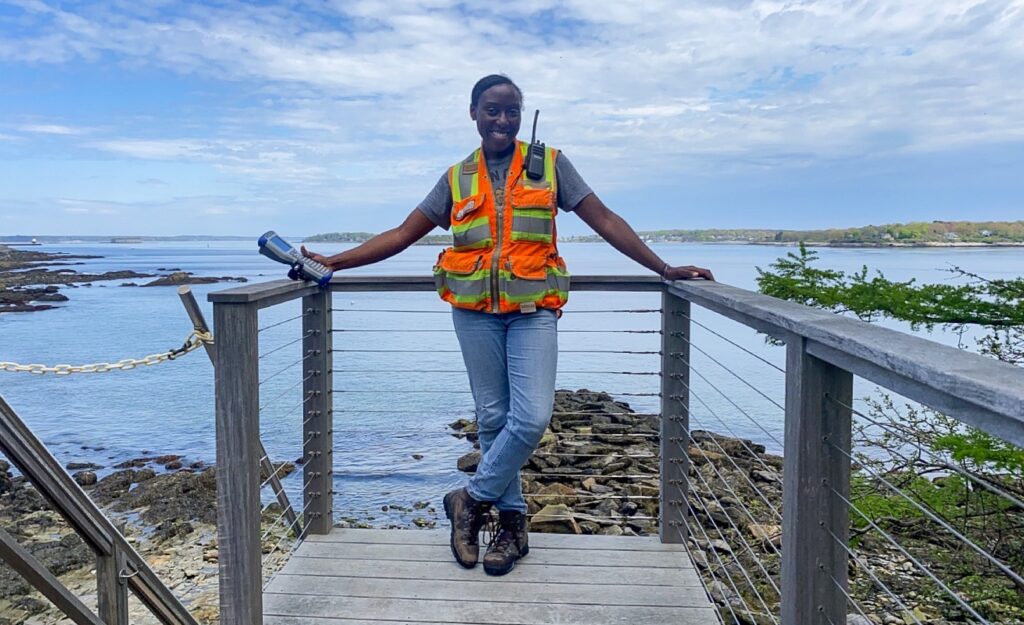
Tarah Doh – Survey Technician

1. How do you ensure accuracy and precision in your surveying work?
I personally ensure accuracy and precision in my survey work by doing multiple checks prior to starting the work. Some examples are staking out a nearby point, annotating both the meter and feet conversion for heights, and never assuming. The saying about assuming is true! I also try to hold a certain personal tolerance depending on the task before I start to internally panic, such as a .020′ maximum tolerance when setting monumentation or 30 seconds tolerance if the total station is out of level. It may be overkill but at least I can rest easily. Knowing the capabilities of the gear being used that day is also factored. Then I tend to follow my personal routine. I find that curating my own system and doing things in a certain order mitigates errors and allows me to spot any anomalies. There are many ways to skin the cat, but it should be done in the best way you can do it.
2. In your opinion, what qualities make a great land surveyor?
In my opinion, the qualities that make up a great land surveyor are attention to detail, willingness to learn, problem solving skills, and a wanderlust spirit. There are many components that could easily ruin your data such as undocumented rod height changes, having the incorrect prism constant, or missing antennas/batteries, the list goes on. The best thing to do is take the “L” (not as in loss but as in lesson), let your partner know immediately, and add it to your personal checklist. As long as the same mistakes are not happening, then you are in fact learning and becoming a great surveyor. As far as complications that are not your doing, the best thing to do is adapt. The work site almost never looks like AutoCAD, Google Maps, or picture equivalent. Our job is to be flexible and creatively execute the project mission while locating the existing obstacles that have yet to be shown. When it comes to a sense of adventure this career field will do the trick. I have had the opportunity to travel many times due to this career, but on a smaller scale you don’t even have to leave the state to find yourself all over it. On an even smaller scale, when searching for boundary monumentation the best route is to take a reconnaissance walk and you might just find what you’re looking for. Academic knowledge can and will be taught but I believe these characteristics are important to truly enjoy the occupation.
3. Can you share a particularly rewarding experience you’ve had as a land surveyor?
Not to give out participation awards but every project I’ve had the pleasure of working on has been rewarding, particularly the ones with multiple phases. Having to revisit a site and finding it almost unrecognizable makes me feel as though I have truly contributed to a community effort. From the preliminary survey to the as-built survey, you realize your individual piece plays a role in the bigger picture and the community it will serve.
Tyler Pollock – Survey Technician
1. How do you ensure accuracy and precision in your surveying work?
I think of the adage “measure twice, cut once”. Current surveying technology allows us to spot-check our measurements and other work in the field in real-time. This helps ensure that any inconsistencies are immediately brought to our attention and corrected while it is fresh in the mind.
2. How do you see the future of land surveying evolving, especially with advancements in technology?
LiDAR and other laser focused technological advancements will continuously change the way we work. With these technologies, 3D data can be obtained in finer focus and in less time than common techniques, situationally. However, nothing will ever replace having boots on the ground for many aspects of surveying.
3. Can you share a particularly rewarding experience you’ve had as a land surveyor?
Many landowners hold their land dearly, and the hiring of surveying services often time arises from their hope to obtain further information about their land and their rights. The most rewarding experiences are talking to these individuals and explaining what you are doing, what it means, and how it will help them answer their original inquiries. The trust they instill in you in exchange for knowledge, often followed by a thank you, will always be the best part of this career.
Jeff Broumas, LSIT – Senior Surveyor
1. How has technology transformed the field of land surveying during your career?
Technology has helped make my career easier, the gear smaller, lighter, quicker, and the size of the field crews has shrunk substantially. However, the end result is simple. In its most simplistic form, we measure and record distances and angles. That principle will not change for some time.
2. What are some common misconceptions about land surveying that you’d like to address?
One common misconception about surveying is that having your property surveyed is a quick process. Sometimes it is. But most of the time it is a lengthy process, and the fieldwork is often the quickest part of that. A lot of effort happens back in the office, and that effort can sometimes be very time consuming, such as deed and record research. When records are poor, lacking, or insufficient, we may have to expand our research onto other parcels that aren’t even connected to the one we are working on. We can sometimes be several parcels removed from the one of interest to be able to comfortably decide as to where evidence leads us to believe where a property line should be.
3. In your opinion, what qualities make a great land surveyor?
A quality that a good surveyor should have is willingness; willingness to keep learning; willingness to evolve; willingness to change. Willingness to change or alter your outlook on an issue if new evidence is obtained. Often, one’s instinct is correct, but one should willing to change thoughts, opinions or standpoints if new evidence or circumstances arise that may disagree with one’s initial conclusions.
4. How do you ensure accuracy and precision in your surveying work?
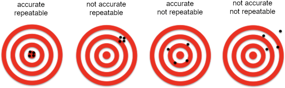
Accuracy and precision in surveying is usually obtained through repetition, redundancy, and repeatability.
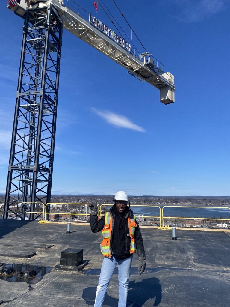
Brian Stoddard, PLS – Project Surveyor
1. What inspired you to pursue a career in land surveying?
My love for the outdoors and desire to work outside inspired me to pursue a career in land surveying. I took an intro class in college and found it interesting and wanted to learn more.
2. Can you share a memorable or challenging project you’ve worked on as a land surveyor?
I recently did a boundary survey on a portion of the Lewiston/Greene town line. This job proved to be challenging because of the research involved and ancient records that needed to be recovered. Both Lewiston and Greene were unaware of where to find any information pertaining to their Town boundaries. Essentially all my research was conducted outside of the Registry of Deeds, at the State Archives, Androscoggin Historical Society, Lewiston City Hall, Greene Town Hall, and met with another surveyor at his house to discuss the Town line. I ended up recovering documents from as early as 1795 and found Town line monuments set in 1832. It’s a wicked good feeling when you find an old document that you’ve been searching for, or find a monument set by another surveyor almost 200 years ago!
3. How does land surveying contribute to the broader community and infrastructure development?
All projects and development begin with a land survey. It is the “back bone” on which everything is designed and built. Land surveyors are often unseen and unrecognized during their efforts, but the whole process begins with our blood, sweat, and bug bites.
ABOUT SEBAGO TECHNICS
Sebago Technics, Inc. is a creative engineering collective boasting a team of 110+ design professionals and technical experts. Operating from multiple offices spread across Southern, Western, and Midcoast Maine, the firm provides an expansive array of services, guiding projects from initial site assessment and design through permitting and construction oversight. Distinguishing itself with the largest survey-geomatics team in Northern New England, comprised of 36 dedicated professionals, Sebago Technics offers unparalleled expertise in land surveying and geomatics.
For those seeking to embark on or advance their careers in surveying, the company presents exciting career opportunities. Visit our Careers page for more information on how to become an employee-owner with one of Maine’s best places to work!