We recently received our new sUAS platform along with a LiDAR sensor and a 45MP camera from Frontier Precision. This system will greatly increase our capabilities in all the types of projects we do here at Sebago, by providing on-demand project photogrammetry and aerial LiDAR.
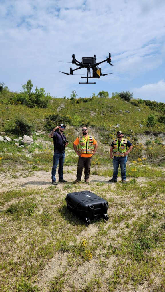
These images are from our initial flight and system training, with Nathan Stephenson from Frontier Precision. In the coming weeks additional flights will allow us to determine the optimal flight speed & altitudes for the best bare ground LiDAR surface model results for the various tree/ground coverages in Maine we encounter. The accuracy anticipated will be around 3cm vertically, even under tree canopies. The ultimate goal is Survey grade surface models out of the block vs public LiDAR, greatly reducing rework in successive deliverable phases.