Kennebunk, Wells, and North Berwick, Maine
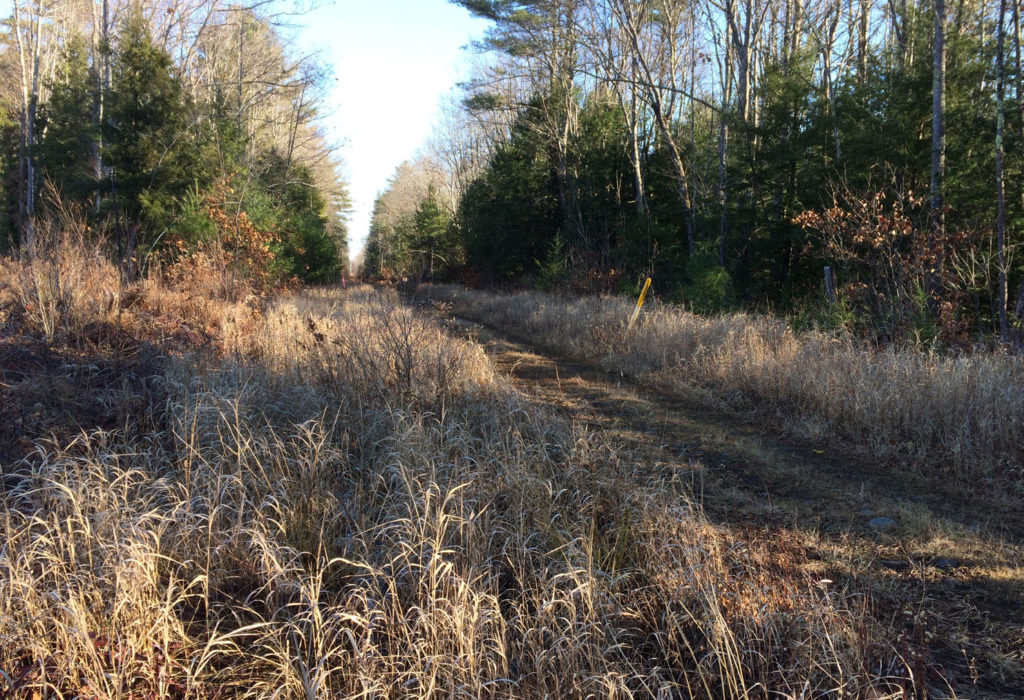
Working with the Eastern Trail Alliance and the municipalities of Kennebunk, Wells, and North Berwick, Sebago Technics provided an existing conditions survey and environmental characterization of approximately 11 miles of a potential trail extension along a former rail corridor. It is envisioned that the plan/profile drawing information produced through Sebago’s work will enable the future trail project design and permitting stages to be furthered so that construction funding can be secured to construct the trail extension.
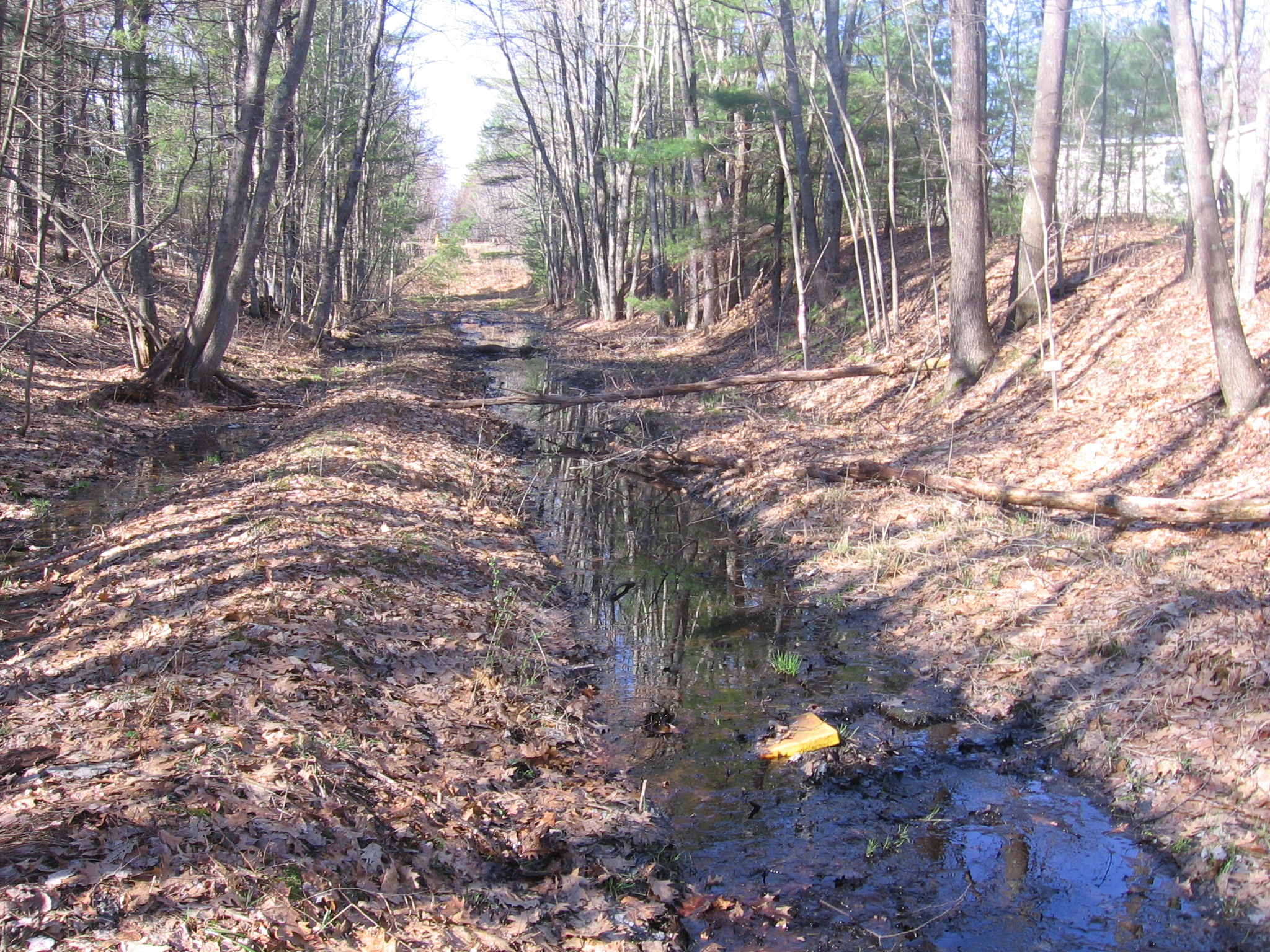
Conducting a field survey and utilizing LIDAR derived contours to develop a digital terrain model, Sebago produced an existing conditions survey plan at a requested two-foot elevation contour interval. Existing conditions features crossing and along the corridor such as boundary monumentation at property limits, railroad fencing, drainage culverts and ditches, brooks, bridges, natural gas transmission pipe markers, and electrical transmission line utility poles were field located.
The apparent right of way boundary and associated easement documentation was then created by analyzing field monumentation information and by researching municipal records and York County Registry of Deeds recorded reference plans and abutting property deeds along the corridor.
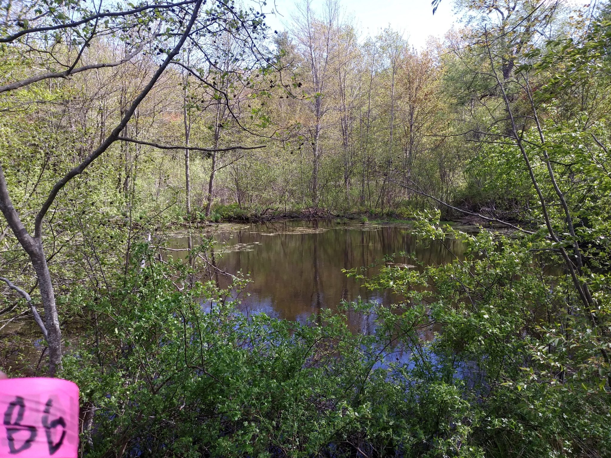
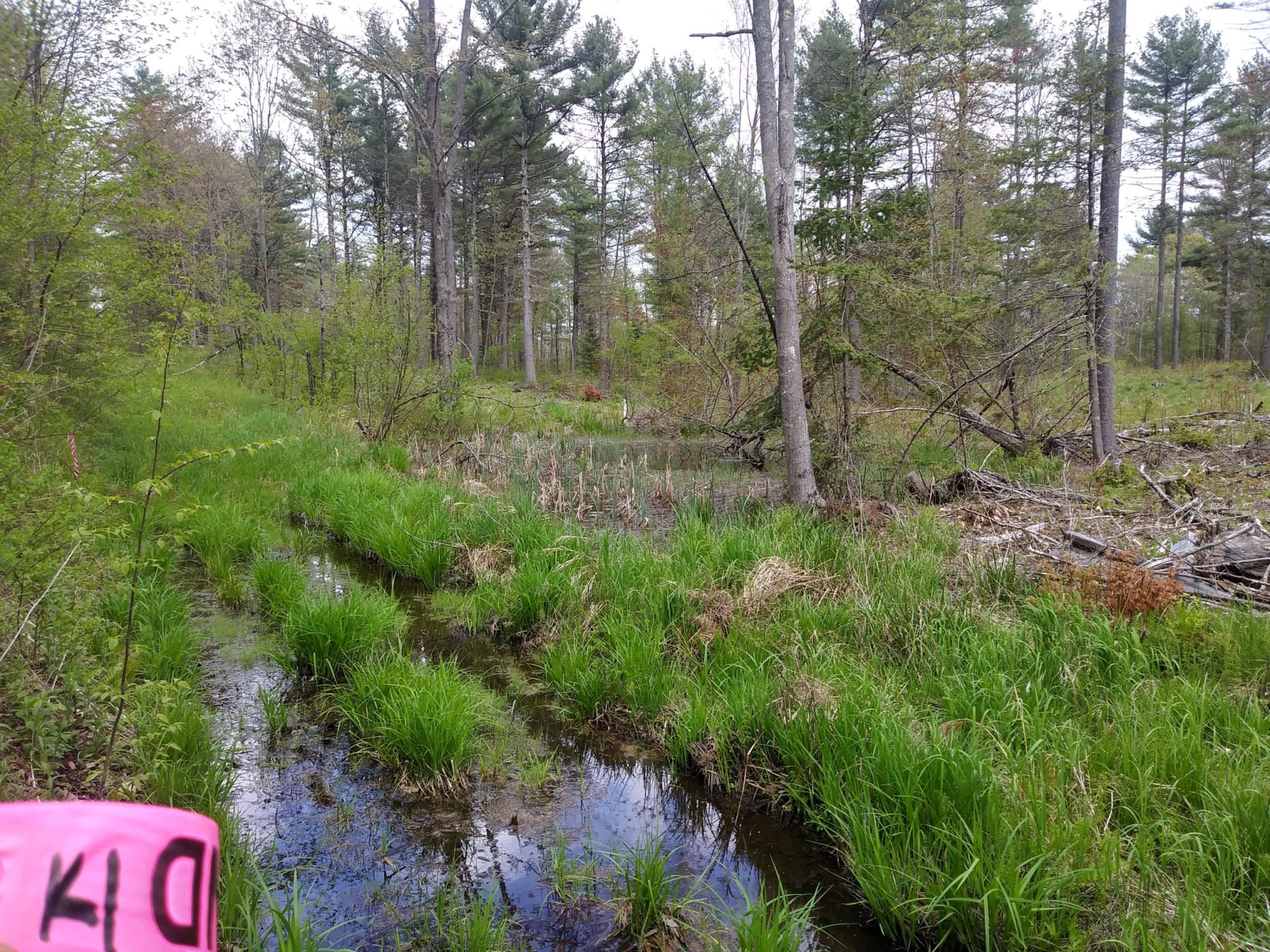
Sebago’s Natural Resources group supplemented this survey by performing an environmental characterization of the corridor which included wetlands and stream delineation along with vernal pool mapping. This effort was rigorous as many environmental features have been created by the extensive disturbance of the corridor since the removal of rail services. Potential vernal pools were visited twice to count egg masses and document the significance or non-significance of each pool. The limits of the streams, wetlands, and vernal pools were located with sub-meter GPS receivers so that their locations could then be added to the plan set.