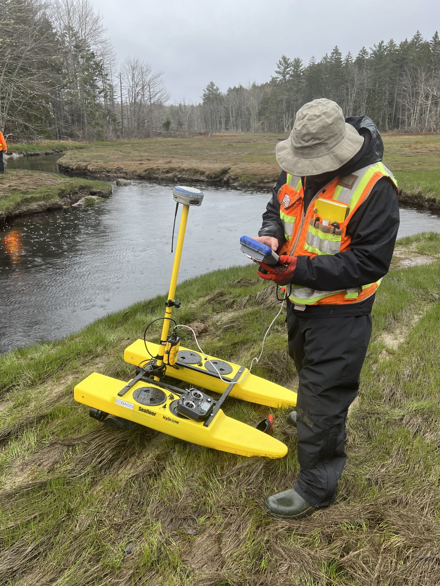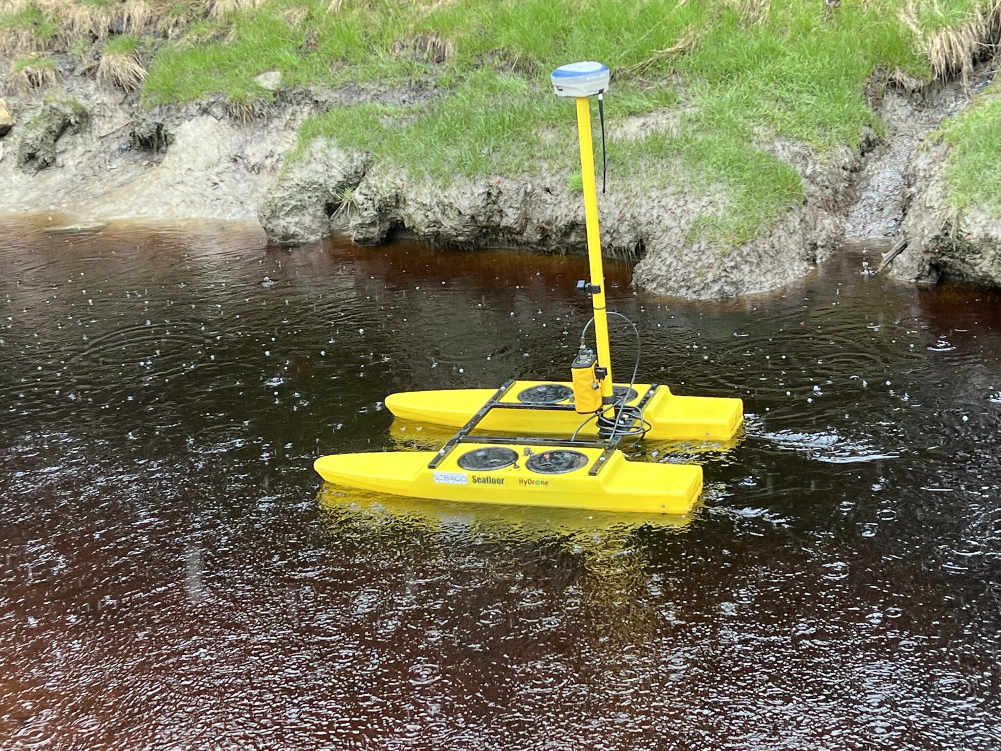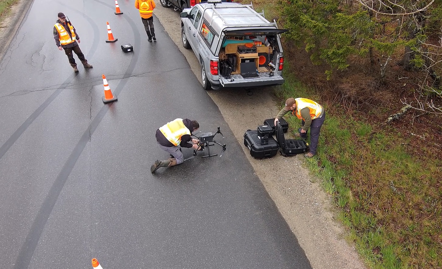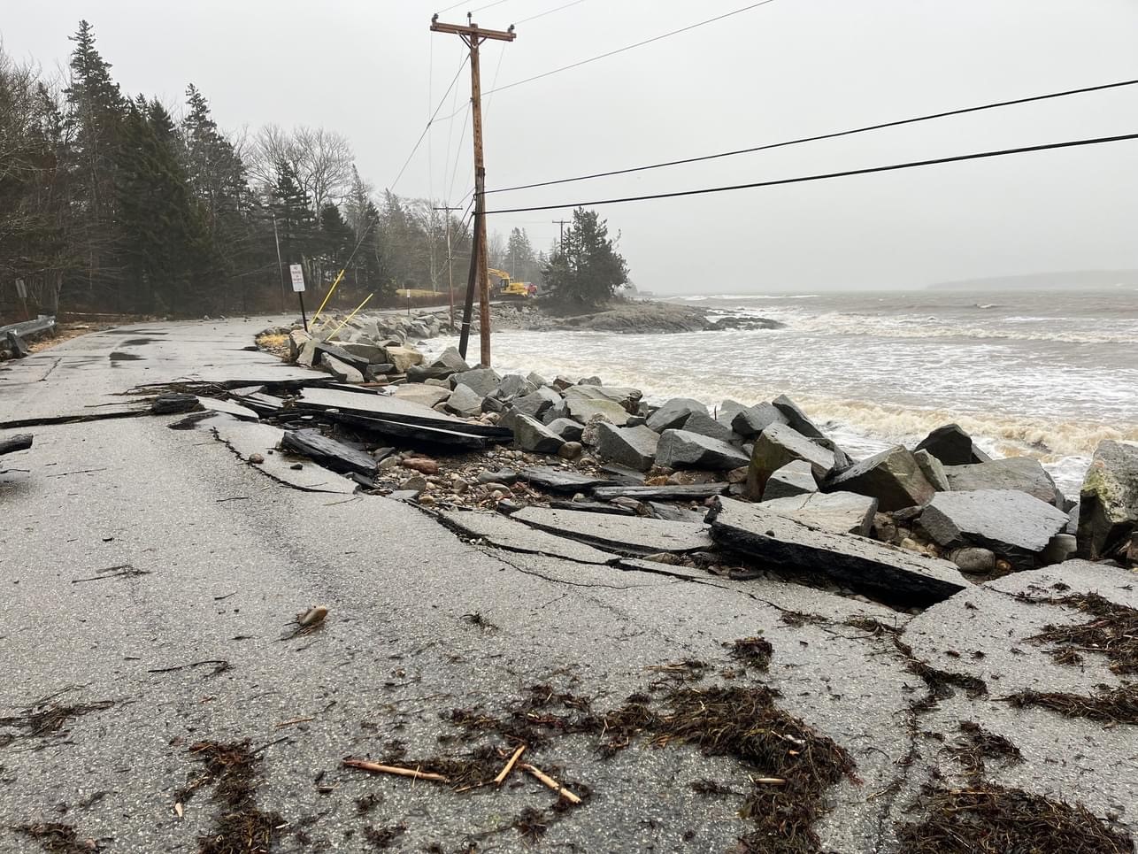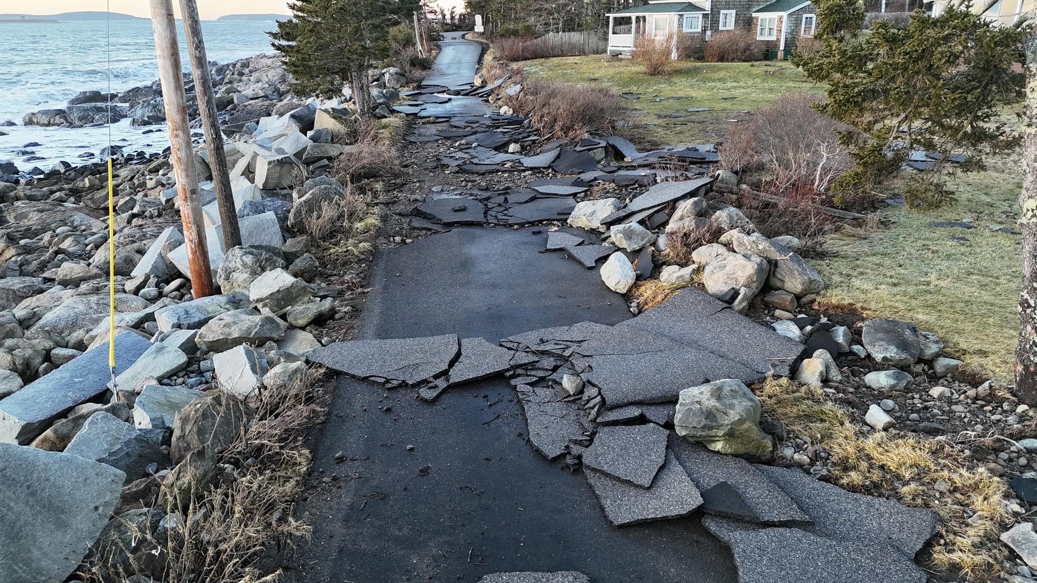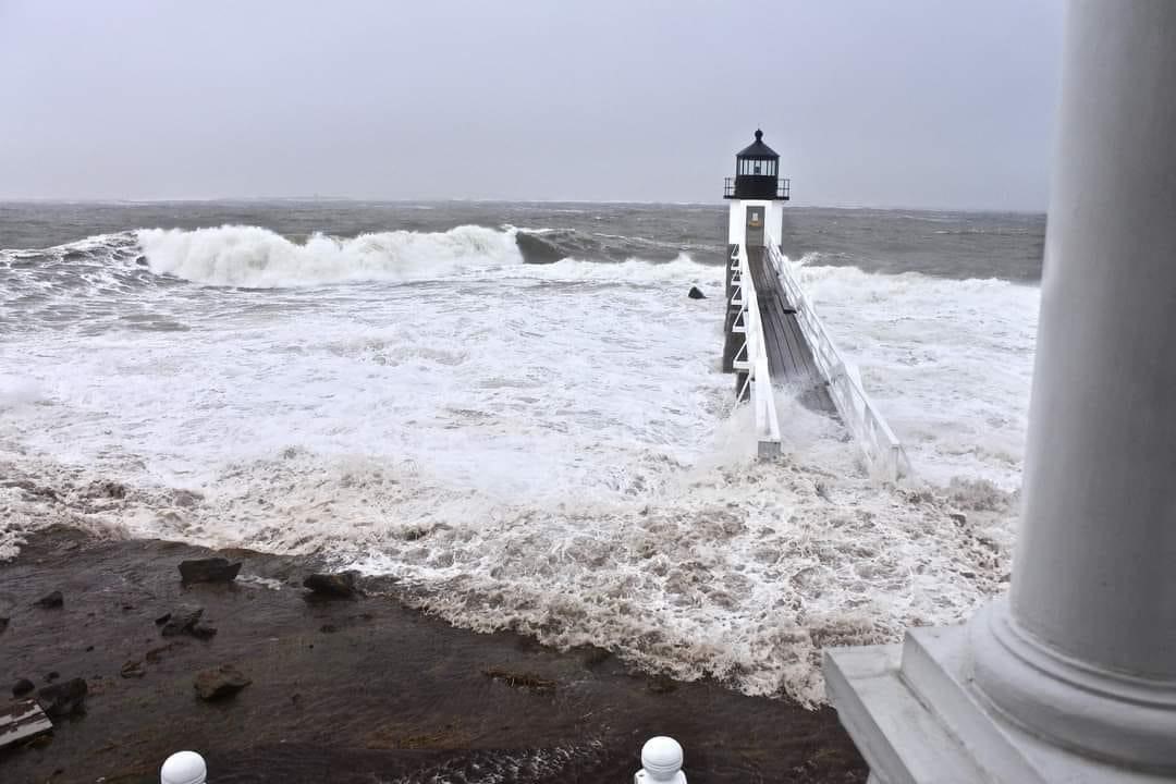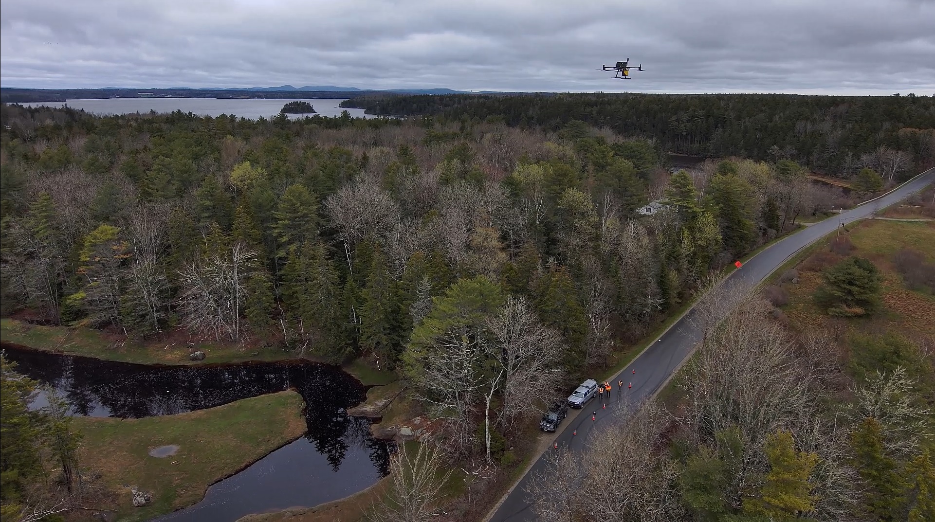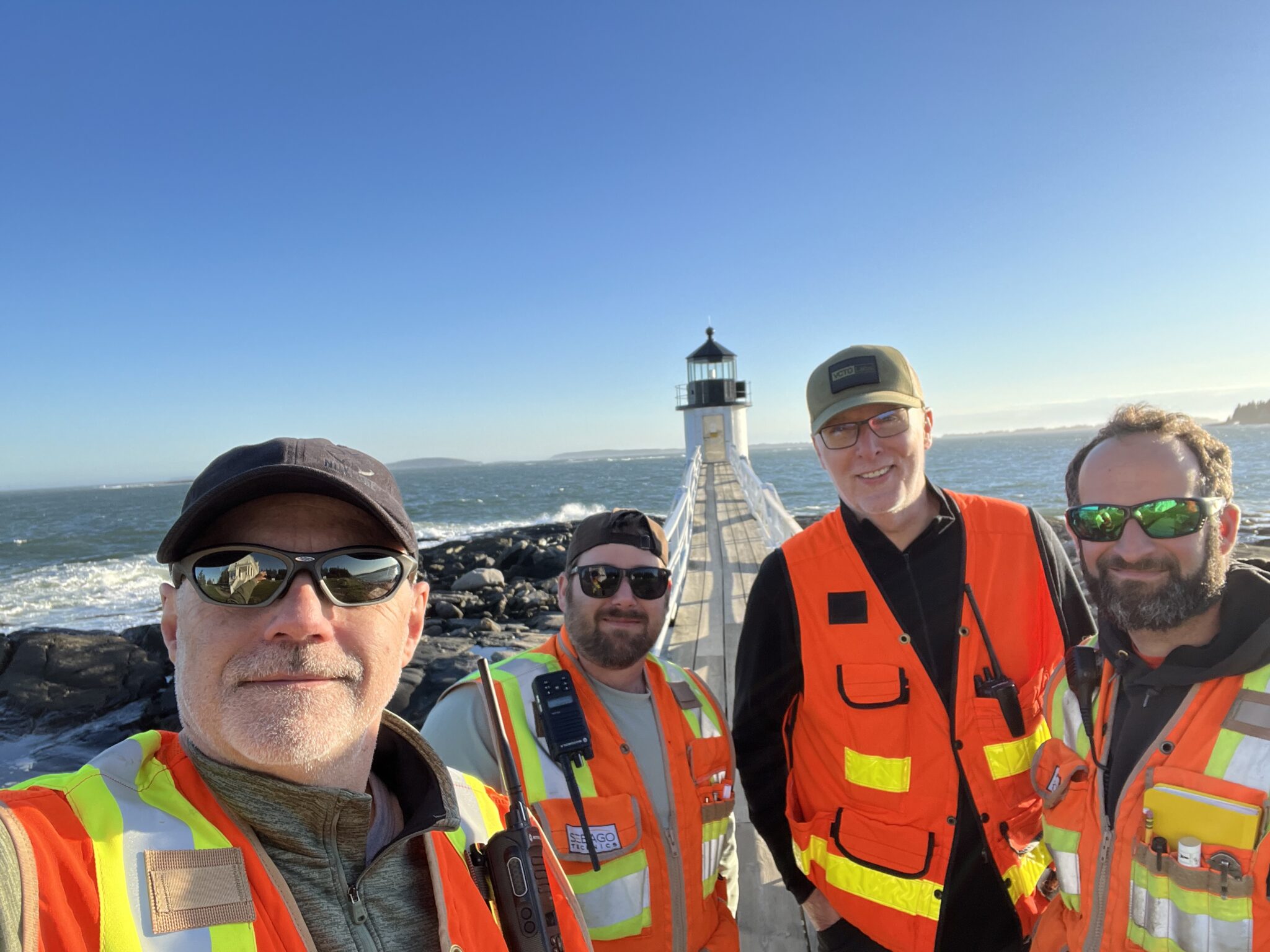
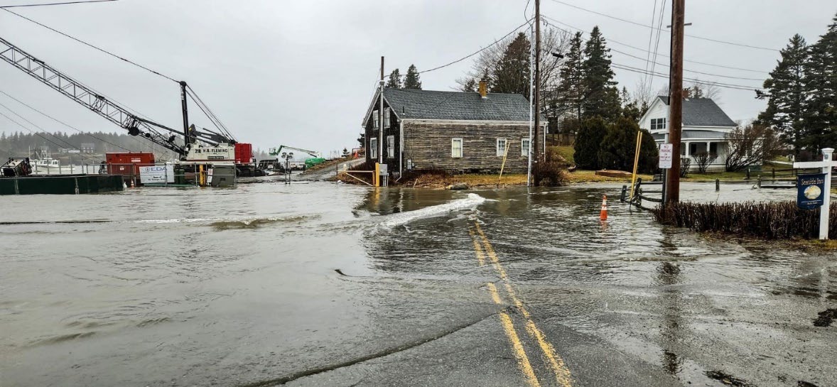
Since early 2023, Sebago Technics has partnered with the Town of St. George, Maine, to confront the pressing challenge of rising sea levels. Using state-of-the-art survey-geomatic and 3D modeling technologies and techniques in conjunction with community engagement, Sebago’s approach was to create a unique yet replicable model. This will address not just infrastructural threats but will also preserve St. George’s historical and archeological treasures.
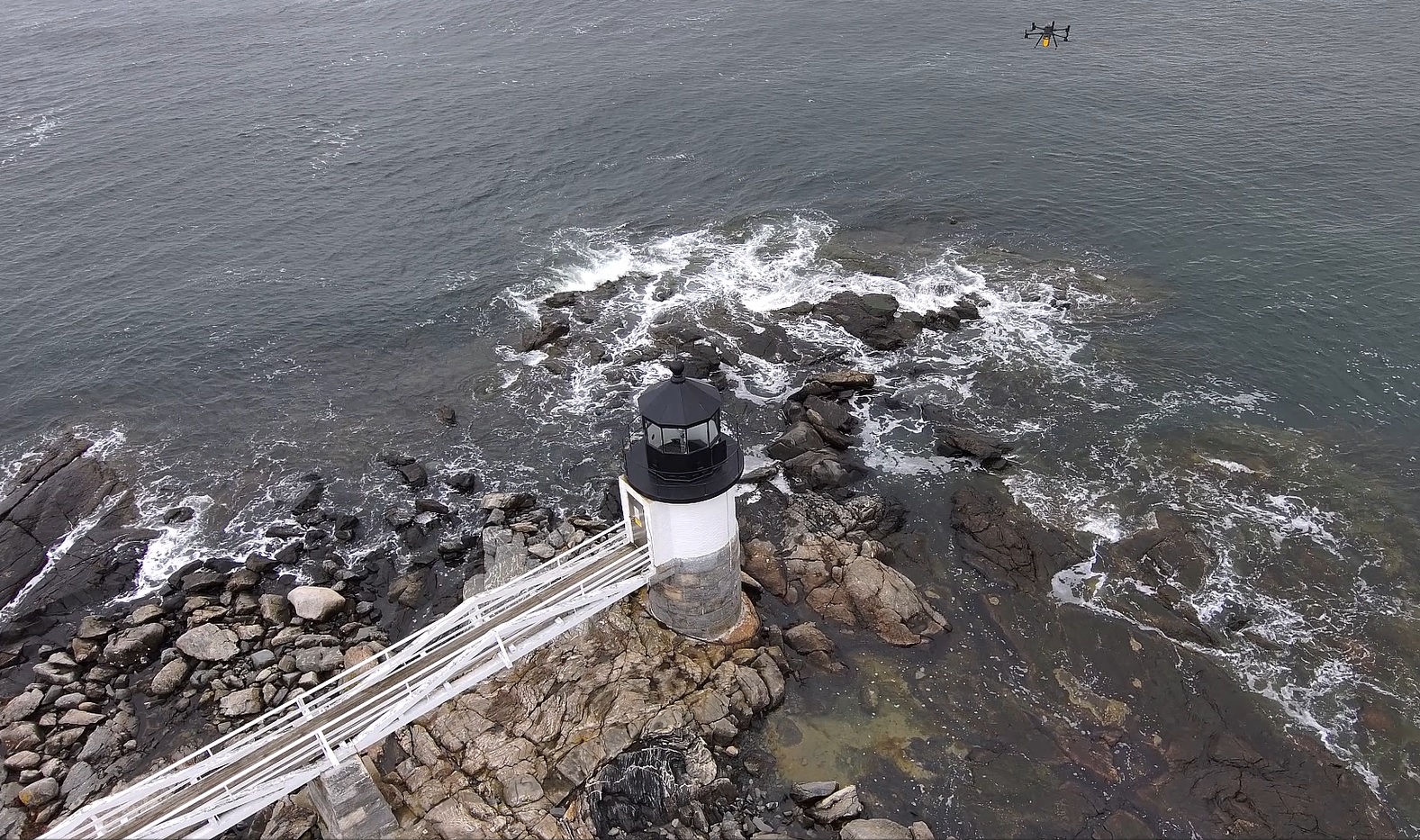
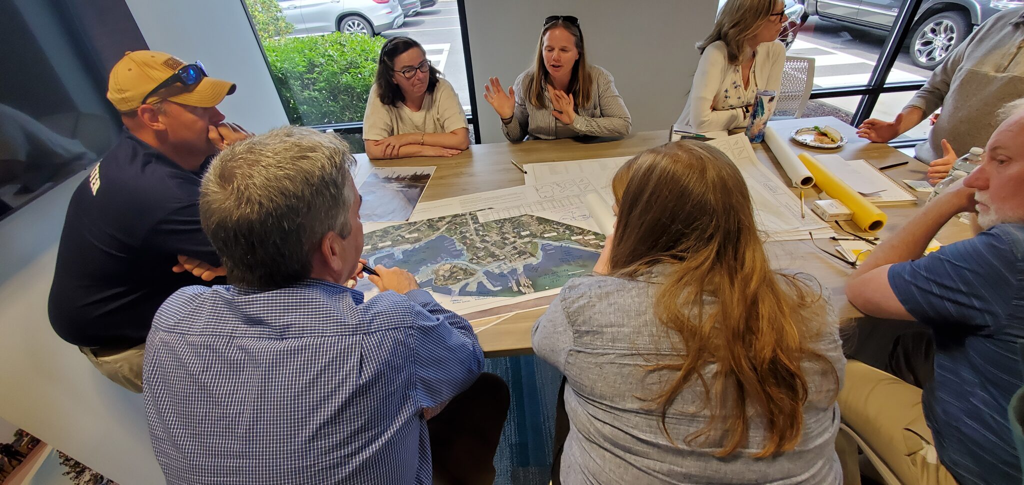
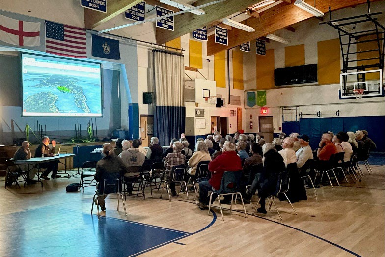
Sebago’s work signifies more than survey-geomatic data collection. It sets the stage to craft 3D “digital mirror” models of existing sites, enabling innovative and risk-free mitigation exploration for engineers. The company’s engagement strategy also extends to the community. In May 2023, Sebago organized an event at the St. George School, capturing the enthusiasm of the community and its youth and integrating their fresh perspectives into the project’s fabric. Later that year, Sebago elevated one of these models into a virtual reality experience, helping to make the imminent threat of sea level rise personal and understandable to St. George’s residents regardless of age or background.
Funded by a state grant from the Governor’s Office of Policy Innovation and the Future (GOPIF) and supplemented by in-kind services from the Sebago-led consortium, the project is on track, with stages of community engagement now taking place to help leverage this approach. In collecting feedback from the community on planning their future for the next few decades, this collaboration is facilitating the supporting financial planning discussions to help ensure the efficient allocation of the limited resources required to mitigate the current and potential problems caused by rising sea levels. This approach also helps to guide new development and supporting codes to build back better in the community.
In essence, Sebago Technics is revolutionizing the response to increasing sea levels. Regardless of the methodology used to determine the sea level rise modeling elevations, information can easily be “plugged in” to see the impact on very accurate project location models (within a few centimeters). Sebago’s methodology doesn’t only foresee a resilient infrastructure but also galvanizes community involvement, bridges generational divides, and accentuates the roles of surveying/geomatics and engineering professionals in forging a sustainable future. By making the process personal to local residents, businesses, and other stakeholders, this project stands as a beacon for all coastal Maine communities. It exemplifies the blend of technology with a community-driven initiative in the face of global climate change.
ABOUT SEBAGO TECHNICS
Sebago Technics, Inc. is a creative engineering collective boasting a team of 110+ design professionals and technical experts. Operating from multiple offices spread across Southern, Western, and Midcoast Maine, the firm provides an expansive array of services, guiding projects from initial site assessment and design through permitting and construction oversight. Distinguishing itself with the largest survey-geomatics team in Northern New England, comprised of 36 dedicated professionals, Sebago Technics offers unparalleled expertise in land surveying and geomatics.
For those seeking to embark on or advance their careers in surveying, the company presents exciting career opportunities. Visit our Careers page for more information on how to become an employee-owner with one of Maine’s best places to work!