Authored by Terry Bennett, PLS LPF MRICS ENV SP LEED AP, Vice President, Survey-Geomatics, Sebago Technics
This week is National Surveyors Week, highlighted by Global Surveyors Day on Thursday, March 21, 2024. It gives us an opportunity to recognize and appreciate the vital role that Surveyors and Geomatics professionals around the world play in various aspects of society.
As professionals, we are responsible for accurately measuring and mapping the land, which serves as the foundation for many projects and decisions. Our team here at Sebago Technics excels in the multifaceted role we play in collecting, analyzing, and interpreting natural and built environment information. We support and provide the foundational information for the development, contributing to urban and rural planning, infrastructure development, property rights, environmental management, disaster resilience, real estate transactions, and the advancement of surveying & geospatial technology each and every day. We produce a “digital mirror of our existing physical world.”
The expertise we provide our clients, and the general public, is indispensable, assisting in the shaping of the world in which we live. We serve the public as the curators of that natural and built environment information, ensuring its accuracy & integrity. National Surveyors Week and Global Surveyors Day help raise awareness about the surveying profession among the general public, government officials, and other stakeholders. By highlighting the importance of surveying in various fields, these events educate people about the significance of accurate measurements and spatial data.
With advancements in technology such as sUAS/drone-based systems and sensors, high-definition laser scanning, robotics, autonomous capture methods, and AI-based data extraction, surveyors and geomatics professionals now have access to powerful tools for data collection, analysis, visualizations, and simulations that mirror the real world. We can harness geospatial data to create digital maps, conduct spatial analysis, and support decision-making across various sectors, including site and commercial development, transportation, natural resources, and even resiliency management.
All of this is possible because we are, as they say, following in the footsteps of the previous surveyors. We have the knowledge handed down from many centuries before us, and while we continue to improve upon it, we must always remember that around the world we are in professional service to the public.
I leave you with this excerpt from Surveyor James Blake, as found on one of his plans on May 8, 1730.
“Upon our needle we depend, In ye thick woods our course to know.
Then after it ye chain Extend For we must gain our distance so.
Over ye hills, through brushey plains, And hidious swamps where is no track,
Cross rivers, brooks, we with much pains, Are forc’d to travil forth & back.
Briars & thorns our Flesh Doth tear, And stubborn brush our Garments rend, Our instruments need much Repair, labour and toil our spirits spend.
Sometimes with heat we are oppresed: Then flys and serpents they annoy us;
Sometimes for cold we have no rest; And sudden heats & colds destroy us.
Our fare is mean, our suffering great Amidst all which our effort must keep And work come right our lines run strait, All plotted be before we sleep
When weary steps has brought us home, And needle, chain have some respite scale and dividers in use come, To fit all for next morning light
And though we’re carefull in ye same As hast[e] & obstacles will yield, Yet after times they will us blame, When rough wild woods are made a Field.”
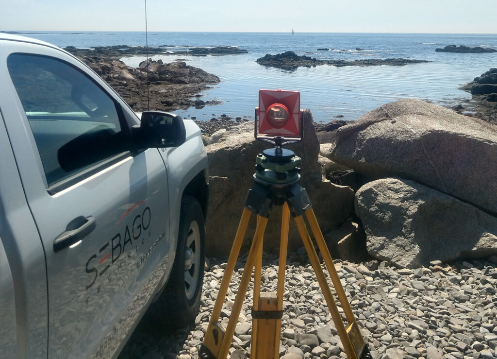
Sebago Technics, Inc. is a creative engineering collective boasting a team of 110+ design professionals and technical experts. Operating from multiple offices spread across Southern, Western, and Midcoast Maine, the firm provides an expansive array of services, guiding projects from initial site assessment and design through permitting and construction oversight. Distinguishing itself with the largest survey-geomatics team in Northern New England, comprised of 36 dedicated professionals, Sebago Technics offers unparalleled expertise in land surveying and geomatics.
For those seeking to embark on or advance their careers in surveying, the company presents exciting career opportunities. Visit our Careers page for more information on how to become an employee-owner with one of Maine’s best places to work!